
Devastation Unveiled: UN Report Details Catastrophic Impact of ‘Ditwa’ Cyclone on Sri Lanka
COLOMBO, SL — The full, devastating scale of the recent disaster triggered by the ‘Ditwa’ cyclone and associated extreme rainfall has been laid bare in a comprehensive new report released by the United Nations Development Programme (UNDP). The assessment reveals an impact that has deeply fractured infrastructure, displaced millions, and crippled the agricultural sector, underscoring Sri Lanka’s urgent need for disaster preparedness and climate resilience funding.
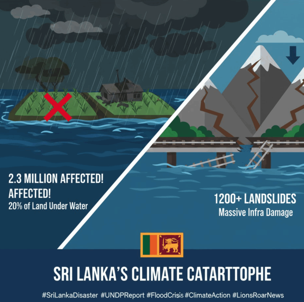
The UNDP report confirms that the resulting floods and inundation have affected an astounding 2.3 million people nationwide, representing a humanitarian crisis that demands immediate and sustained attention.
📉 Unprecedented Flooding and Human Impact
The sheer geographical extent of the flooding is one of the most alarming findings of the report.
Land and Geographical Coverage
The report states that floodwaters submerged an area exceeding 1.1 million hectares, which translates to approximately 20% of Sri Lanka’s total land area . This unprecedented level of inundation crippled key areas across the island.
- Epicentre of Inundation: The most heavily affected area nationwide was identified as the Dimbulagala Divisional Secretariat Division in Polonnaruwa District, where over 23,000 hectares of land were submerged.
- Agricultural Catastrophe: The agricultural heartland suffered immensely, with an estimated 530,000 hectares of paddy lands (rice fields) being completely flooded, threatening the nation’s food security and the livelihoods of hundreds of thousands of farmers.
Demographic Vulnerability
The disaster disproportionately impacted vulnerable populations, with the report breaking down the severity of the humanitarian crisis:
| Demographic Group | Affected Individuals | Percentage of Total Affected |
| Total Individuals Affected | 2.3 million | 100% |
| Women | 1.2 million | 52.2% |
| Children | 522,000 | 22.7% |
| Elders (Aged 65+) | 263,000 | 11.4% |
Crucially, the report noted that over 60% of the individuals exposed to the floods were residents of the highly urbanized Colombo and Gampaha districts, highlighting the massive strain placed on critical infrastructure and emergency services in the economic hub of the country.
🏗️ Infrastructure Damage and Debris Crisis
The scale of physical damage to the country’s infrastructure is staggering, hindering initial relief and long-term recovery efforts.
- Buildings: Nearly 720,000 buildings were exposed to floodwaters. This figure represents approximately one in every twelve buildings across the entire nation, emphasizing the breadth of the structural impact.
- Road Network: Over 16,000 kilometres of roads were submerged.
- Rail Network: More than 278 kilometres of railway lines and 480 bridges are located within the flood-affected areas, complicating transport restoration.
Landslide Epidemic
The persistent, heavy rainfall in the mountainous central regions led to a parallel crisis: a severe outbreak of landslides.
- National Count: Approximately 1,200 landslides were reported across the hilly areas of Sri Lanka.
- Landslide Hotspots: The highest incidence was recorded in the Ududumbara Divisional Secretariat Division in Kandy District, which alone reported 135 landslides.
- Other Critical Areas: Other areas suffering major losses included Laggala in Matale District, Kotmale West in Nuwara Eliya District, and Lunugala and Passara in Badulla District, with each recording over 60 landslides individually.
Environmental Fallout: Debris and Waste
The environmental consequences are also severe. The combined forces of the floods and landslides generated an estimated 25 metric tonnes of non-construction waste debris (approximately 60,000 cubic metres of volume) that has been deposited into the environment. Managing this massive volume of disaster waste presents a significant logistical and environmental challenge for immediate cleanup efforts.
🤝 Call for Resilience and Climate Action
The UNDP report serves as a stark warning about Sri Lanka’s vulnerability to climate change-induced extreme weather events. The magnitude of the ‘Ditwa’ cyclone’s impact—from the humanitarian toll and agricultural losses to the near-paralysis of key infrastructure—reinforces the urgent need for a cohesive national strategy that integrates disaster risk reduction with long-term climate adaptation planning.
The findings are expected to be used by the government and international partners to prioritize aid, reconstruct critical infrastructure to higher resilience standards, and develop early warning systems to protect the most vulnerable populations identified in the report. The focus will now shift to securing the large-scale international funding required to transition from emergency relief to sustainable national recovery.


