
Weekend Sun to Fade: “Usual Suspects” Braced for Monday’s Cold Front
By Lions Roar Aotearoa Weather Bureau
NEW ZEALAND (Friday, January 30, 2026) — Enjoy the Vitamin D while you can. MetService is warning New Zealanders to make the most of the sunshine this weekend before a “good cold front” sweeps up the South Island, bringing a sharp change in weather by Monday.
Meteorologist Alain Baillie told media that while the front won’t bring “crazily cold” temperatures, it will hit the “usual suspects” with a combination of heavy rain and powerful winds.
🌬️ Severe Gales and Strong Winds
The primary concern for early next week centers around intense northwesterly winds.
- Lower South Island: Otago and Southland are likely to see severe gales.
- Central Regions: Wellington, Marlborough, and Wairarapa are also in the firing line for potentially damaging gusts.
- The West Coast: While heavy rain is expected, there is currently “low confidence” that rainfall will reach official warning thresholds for the West Coast and Tasman regions.
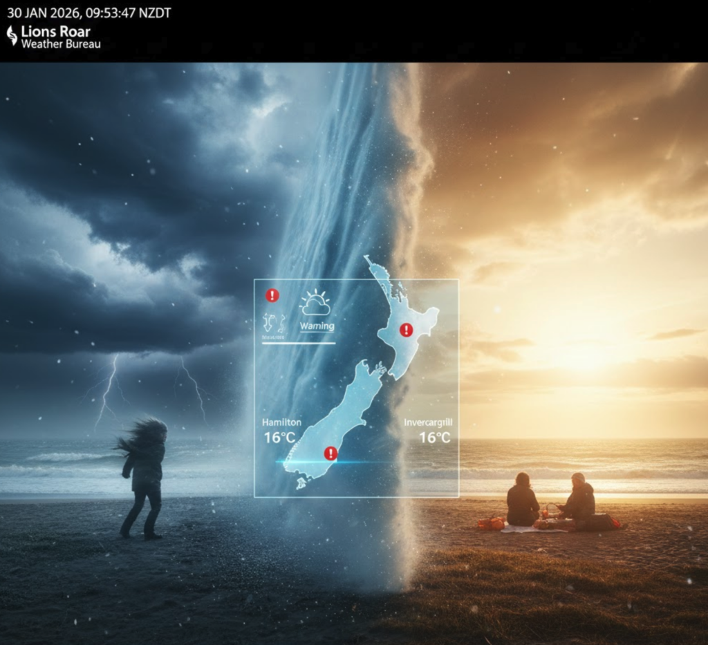
🌡️ The Great Temperature Divide
A massive temperature gap is currently splitting the country, with the North Island basking in summer heat while the South Island feels an early autumn chill.
Friday Highs:
- The North: Hamilton is leads the pack at 27°C, followed by Auckland and Whangārei at 25°C.
- The South: Invercargill is struggling to reach 16°C, with Timaru at 17°C and Christchurch hitting 18°C.
“It’s a reasonably short-lived event,” Baillie noted, adding that temperatures are expected to dip over the weekend before the front officially arrives on Monday.
📊 Regional Forecast at a Glance
| Region | Friday High | Monday Outlook |
| Auckland | 25°C | Mostly Fine, Mild |
| Hamilton | 27°C | Warm, Clouding over |
| Wellington | 20°C | Severe Gales possible |
| Christchurch | 18°C | Cooler, Rain developing |
| Invercargill | 16°C | Strong Winds, Cold Front |
☀️ Early Next Week: Warmth Returns
Despite the Monday shake-up, the weather isn’t done with summer yet. Warmer conditions are expected to build again quickly after the front passes, particularly across the eastern North Island (Hawke’s Bay and Gisborne), where temperatures are tipped to climb once the northwesterly flow stabilizes.


