
NZ’s Cyclonic Wake-Up Call: Elevated Risk Confirmed for Northern Regions as Record Pacific Temperatures Fuel Volatile Season
By Lions Roar News Weather Desk Auckland, NZ – November 6, 2025
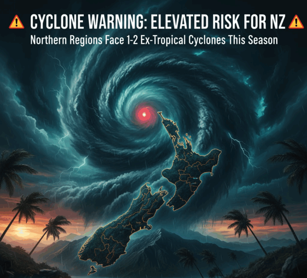
New Zealand is facing a distinct and elevated threat this season, with its northern regions specifically flagged as being at a higher-than-normal risk of being impacted by ex-tropical cyclones. The warning comes from Earth Sciences New Zealand (ESNZ), the nation’s new authority on atmospheric and geological research, in its Tropical Cyclone Outlook for the 2025-26 season.
The forecast, which anticipates five to nine tropical cyclones forming within the Southwest Pacific region (where the long-term average is nine), places a strong emphasis on the alarming warm ocean surface temperatures driving volatility across the basin. While New Zealand typically experiences just one ex-tropical cyclone per year, ESNZ’s assessment indicates that Northern New Zealand is firmly within the one to two ex-tropical cyclone range this season, a situation classified as “normal to elevated risk.”
The concern for the upcoming season is magnified by conditions already observed across the Tasman. Australian experts are reporting record-breaking ocean temperatures in the country’s north, a critical breeding ground for these severe weather systems. Weatherzone meteorologist Ben Domensino highlighted that tropical cyclones require sea surface temperatures of at least 26.5°C to form, but certain northern Australian regions have recently seen ocean temperatures peak at a scorching 31°C—placing them within the top 10% of historical records. As Domensino noted, “Once over this threshold, the rate at which tropical cyclones can intensify generally increases with higher ocean temperatures.”
ESNZ Principal Scientist Chris Brandolino acknowledged that the warm ocean surface is a key factor in assembling the New Zealand outlook, though he stressed it is not the sole determinant of the season’s intensity.
“In a nutshell, ocean temperatures, while very important, are not the only thing that influences how tropical cyclones of the season may go, if it’s a busy season or a quiet season,” Brandolino told reporters.
He clarified that the ESNZ outlook covers the vast Southwest Pacific basin, stretching from south of Papua New Guinea all the way east to French Polynesia—a “big chunk of real estate” that includes New Zealand’s vulnerable northern coastline.
The implication for communities in the upper North Island is clear: preparedness must be treated with increased urgency. While the central and eastern parts of the wider basin are anticipated to see a normal or reduced risk, New Zealand’s geographical position puts it directly in the path of any storms that develop in the western Pacific and track southward.
Furthermore, ESNZ issued a chilling reminder to all communities in the region: “Between two and four severe tropical cyclones reaching Category 3 or higher may occur anywhere across the region, so all communities should remain prepared.”
The likelihood of severe storms directly hitting key Pacific neighbours is also higher this season. New Caledonia and Vanuatu are placed at the highest risk, expected to see three to four cyclones, while Fiji is at risk of two to three. Tonga, Wallis and Futuna, and the Solomon Islands are, like Northern New Zealand, expected to see one to two. New Zealand’s fate is closely linked to its Pacific neighbours, as these systems often transition into ex-tropical cyclones that cross into New Zealand’s area of responsibility.
The official forecast was assembled through a collaborative effort involving ESNZ, MetService, the University of Newcastle, and meteorological services across the Pacific Islands. ESNZ, which was formed in July through the merger of the National Institute of Water and Atmospheric Research (Niwa) and GNS Science, emphasized the strength of this unified scientific approach.
With the forecast period running from November 2025 to April 2026, the scientific data underscores a cyclonic wake-up call for New Zealand. Residents, businesses, and local councils in the northern regions are advised to immediately review and update their emergency plans, paying close attention to the heightened possibility of significant wind and rainfall events typical of ex-tropical cyclones. The time for proactive preparation is now.


